The New York Metropolitan region is
vulnerable to coastal flooding and large-scale damage to city
infrastructure from hurricanes and nor'easters. Much of this
region lies less than three meters above mean sea level; in total
this includes an area of about 260 square kilometers. Within this
area lies critical infrastructure such as hospitals, airports,
railroad and subway station entrances, highways, water treatment
outfalls and combined sewer outfalls at or near sea level.
Recent storms have already revealed the intrinsic potential for disaster
in this region. For example the nor'easter of December 1992 flooded
the entrance of the Hoboken Path train station with seawater,
short-circuiting the electric trains and city subways, and shutting
down the entire system. Fortunately, no lives were lost but there
would have been fatalities if the sea had risen another foot. During
this century, rising sea level will aggravate storm surges along the
New York City metro region coast, causing more severe flooding and
increasing the frequency of these floods.
In response to investigating these threats, the Stony Brook Storm
Surge Research Group was formed in 2002 with support from New York
Sea Grant, New York City Department of Environmental Protection,
HydroQual Inc., and the Eppley Foundation for Research. This website
is being developed as a coastal early warning system for emergency
response against flooding in Metropolitan New York.
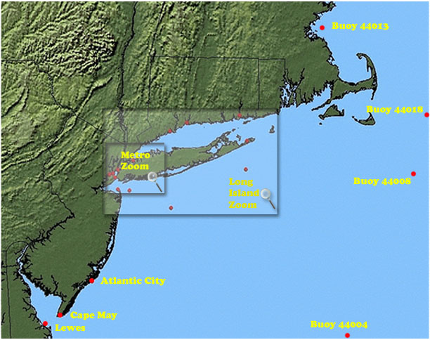
This website displays observed, astronomical and predicted sea level
variations at key NOAA tide stations on the northeastern coastline
with an emphasis on New York Harbor. Our storm surge prediction model
(SBSS Version 1) consists of the
Stony Brook 12-km MM5
mesoscale weather prediction model coupled to the
ADCIRC
ocean circulation model. The model predicts winds, pressure, tides,
storm surge and currents with a 50-hr time horizon. The MM5 model
is run twice daily and the output is used as input for ADCIRC. The
water level predictions and observations are updated at 3am and
3pm daily. The predictions are 5hrs behind real time due to the model's
run time.
The Version 1 model has been validated against two major storm events;
Hurricane Floyd (15-19 Sept. 1999) and the 25 December 2002 nor'easter,
as well as real-time verification throughout a winter season (Bowman
et al., 2004,2005).
 for high water alerts.