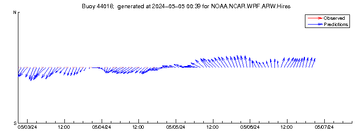
Wind Vector plot for Buoy 44018
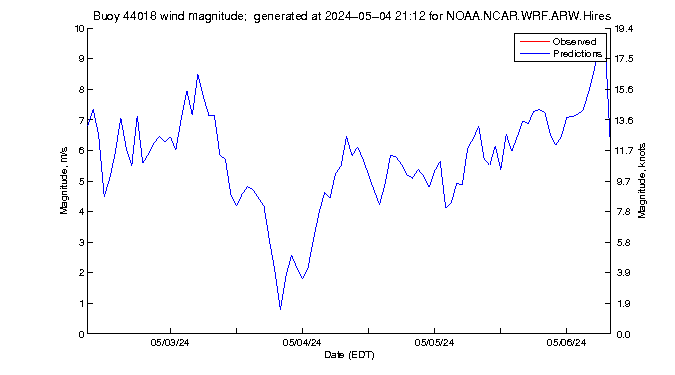
Wind Magnitude plot for Buoy 44018
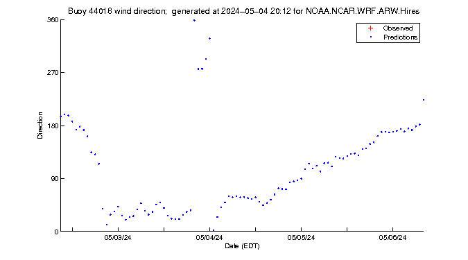
Wind Direction plot for Buoy 44018
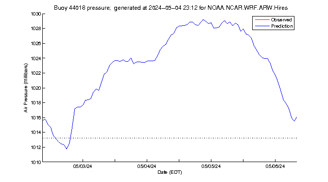
Pressure Data plot for Buoy 44018
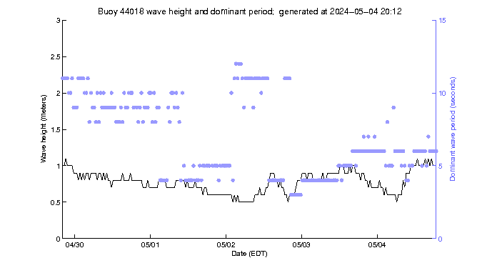
Wave Data plot for Buoy 44018
Wind Vector plot for Buoy 44018 |
|
Wind Magnitude plot for Buoy 44018 |
|
Wind Direction plot for Buoy 44018 |
|
Pressure Data plot for Buoy 44018 |
|
Wave Data plot for Buoy 44018 |
|
|